Applied briefs

Three representative engagements

Each brief pairs remote spatial analysis with local partner field sampling, producing documented deliverables for operational and compliance use.

Operational utility

Defensible baselines for decisions that follow

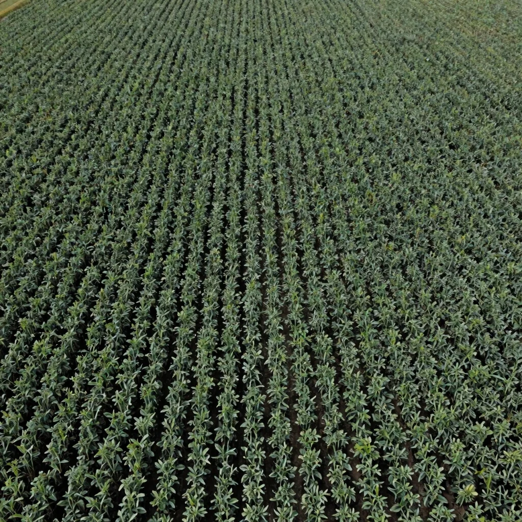
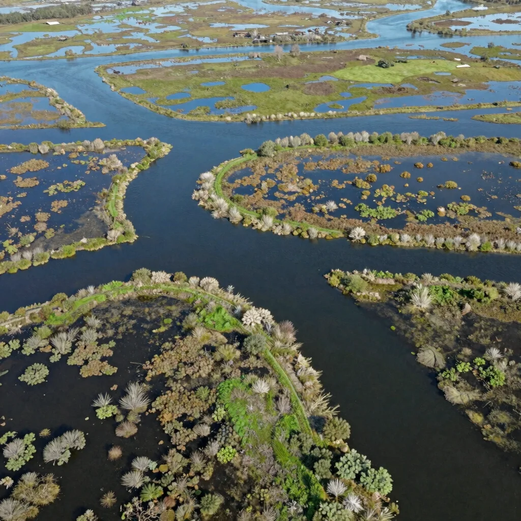
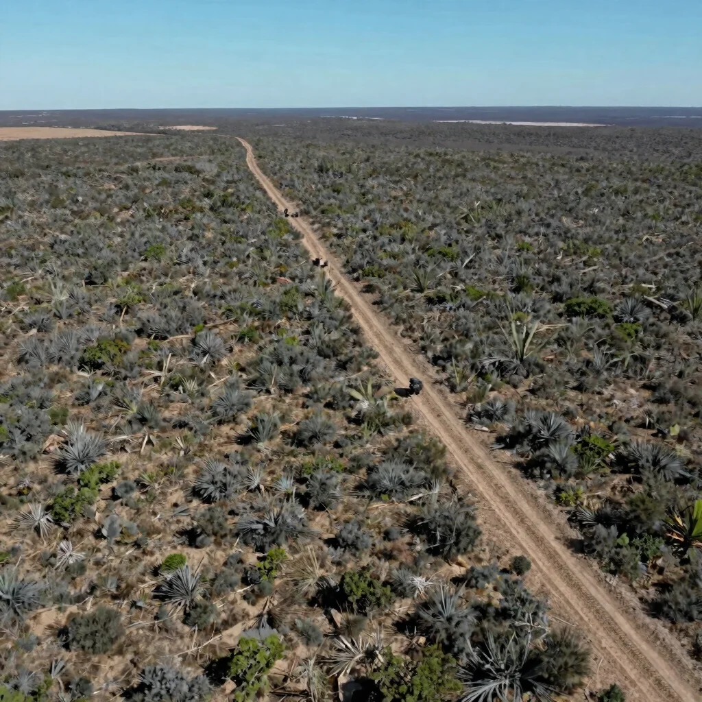
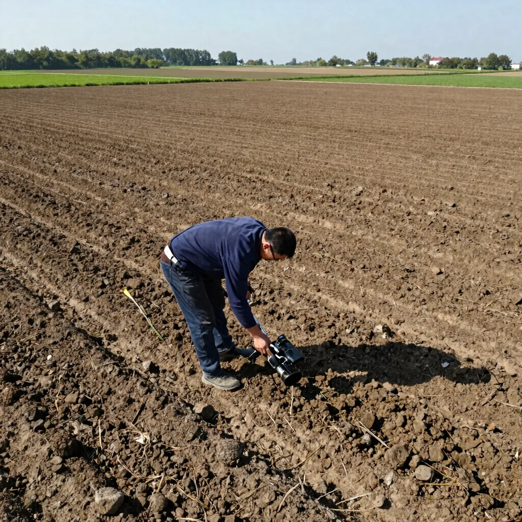
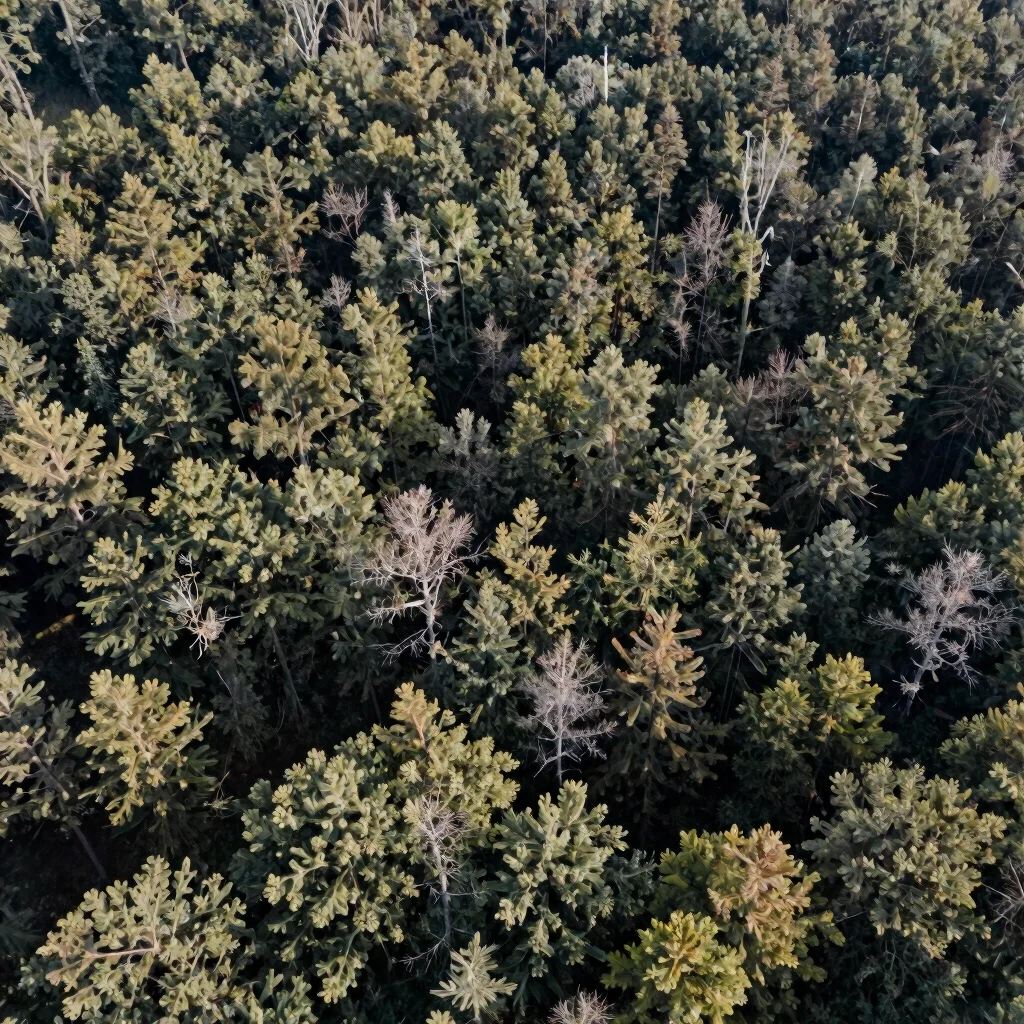
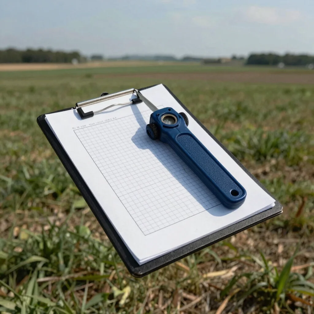
Regional crop yield forecasting, forest conservation monitoring, and climate risk baselines each produce deliverables that organizations can reference in planning and reporting. Remote analysis establishes the spatial pattern, while local sampling protocols confirm the conditions it describes.

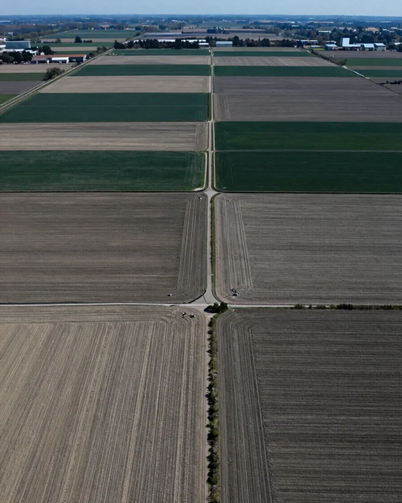
Documented outputs are structured so that operations teams and compliance reviewers can trace each finding back to its source imagery, method, and field observations. The result is a geospatial baseline that stands up to scrutiny over time.