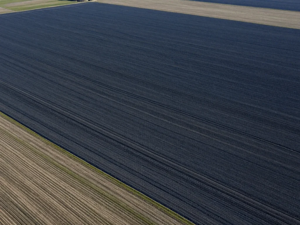
Multispectral and radar imagery is collected and prepared through atmospheric correction and sensor normalization.
02
Algorithmic Classification
Machine learning models process multi-temporal series to detect subtle vegetation and soil anomalies.
03
Field Validation
Rigorous field sampling grounds algorithmic outputs and removes remote sensing ambiguity.
04
Decision Formatting
Verified findings are translated into clear, decision-ready information for planners and advisors.
Core principle
Satellite algorithms remain unverified without ground data.
Imagery shows patterns from above. Field observation confirms what those patterns mean on the land, so every conclusion rests on conditions we have checked.