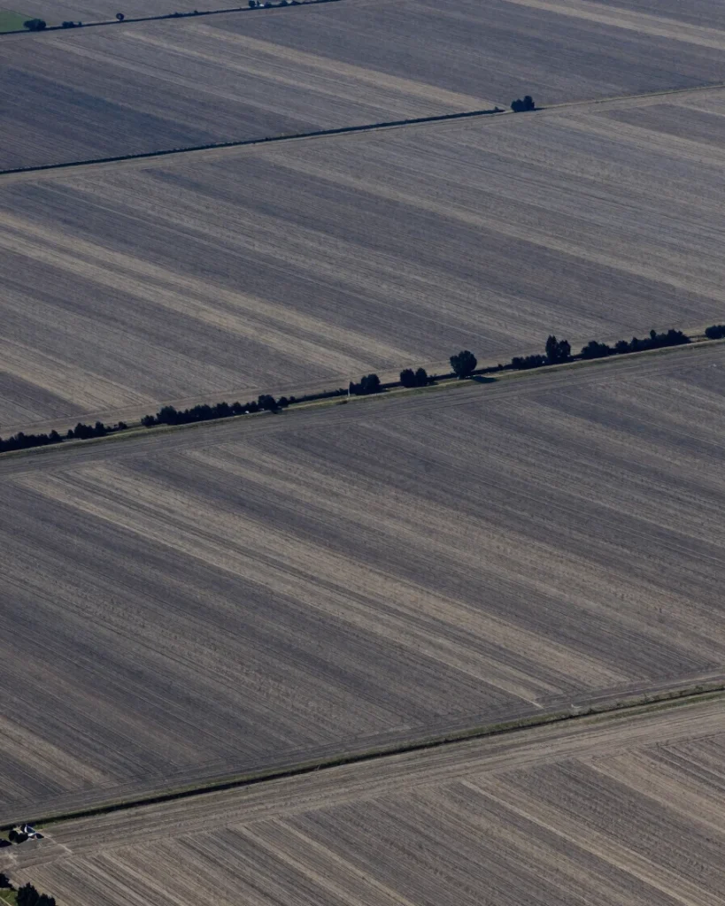
Satellite analytics, machine learning, and field validation
LSGA delivers geospatial consulting that connects multispectral satellite processing, terrain modeling, and predictive spatial modeling to conditions verified on the ground.
Three coordinated capabilities turn raw imagery into decision-ready information, with each output calibrated against observed land conditions.
Satellite data acquisition
Multispectral satellite processing organizes imagery for consistent time-series analysis across agricultural and land sites.
Automated land-cover classification
Machine learning models classify land cover and support predictive spatial modeling for terrain and vegetation questions.
On-site calibration protocols
Field verification teams check outputs against real soil, vegetation, and land conditions before results are reported.
Each engagement delivers tailored reports, geospatial layers, and decision-ready dashboards matched to the question at hand.
Applied methods
Specialized analysis for land and climate risk
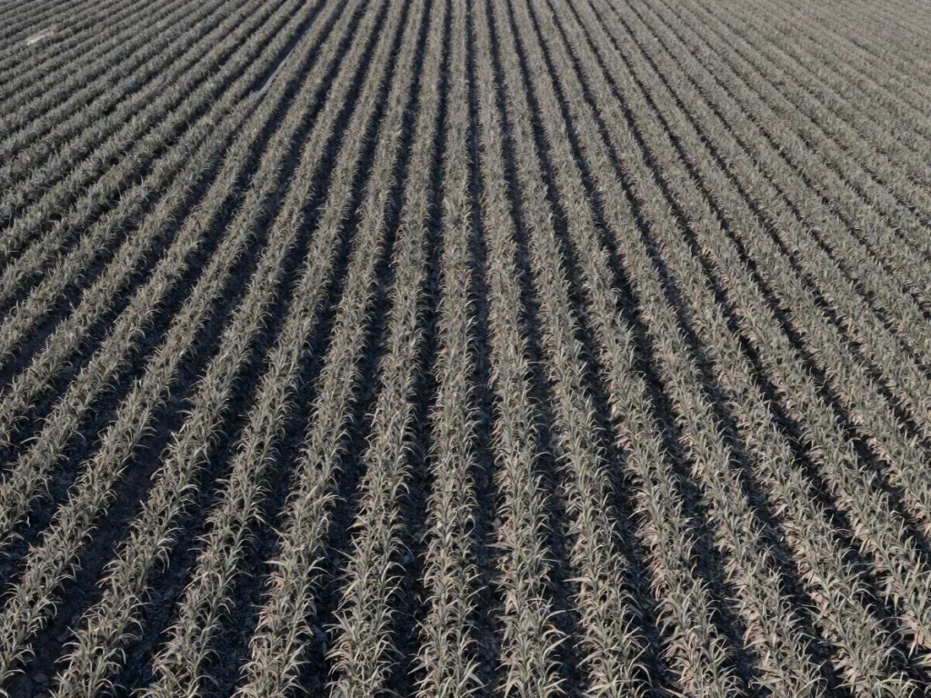
Crop yield monitoring
Time-series satellite observations track crop development across the season, with field checks confirming what the signal represents on the ground.
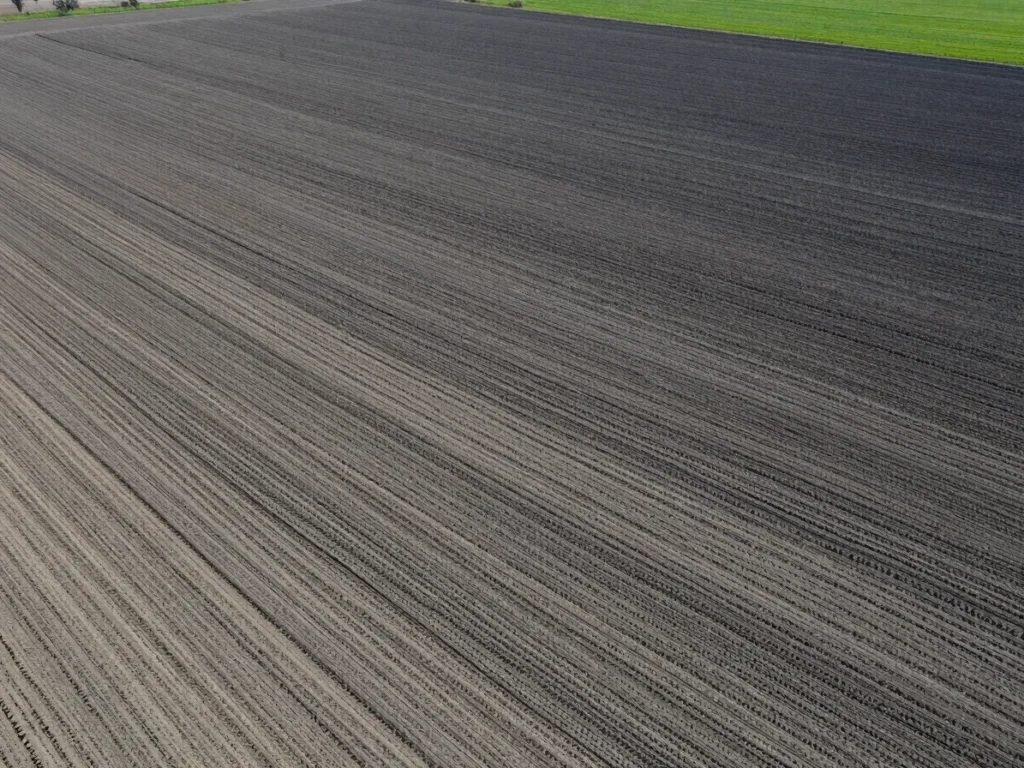
Soil moisture tracking
Spatial modeling of moisture conditions supports irrigation and land management questions, calibrated against soil sampling in the field.
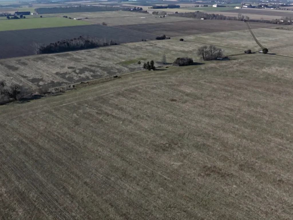
Flood and drought risk assessment
Terrain modeling and land-cover change analysis help assess exposure to flood and drought risk, with verified site conditions informing each conclusion.